
Crossings
Document where a ramp is missing, where the approach is obstructed or where the signal feels too brief. Record the exact corner so reviewers can find it.
Street Commons brings neighbors together to identify barriers on everyday routes and turn what they learn into specific, trackable requests.
Find a volunteer role ↗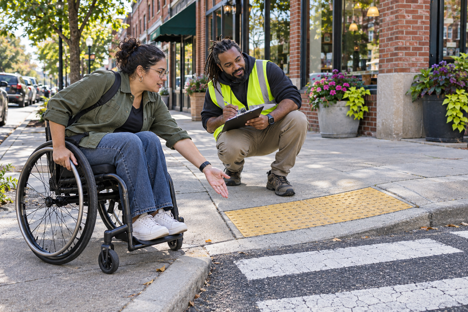
A route can look connected on a map and still be difficult to use in practice. Our community organizing starts by listening to the people who navigate the route every day.
Document where a ramp is missing, where the approach is obstructed or where the signal feels too brief. Record the exact corner so reviewers can find it.
Look at the entire trip to the stop, including the waiting space, curb and route from the stop to nearby destinations. Invite riders to describe barriers in their own words.
Map where a person can sit along a longer route. Note whether seats are shaded, whether there’s space alongside them and how far the next option is.
Filter these sample roles by work setting and the maximum time you can give in a session. Each role includes an orientation before you start.
3 roles
Remote · 30 minutes
Check that each entry has a location, date and description. Flag records that need clarification before they go into the shared report.
Ask about this role ↗In person · 1 hour
Follow a short route with a team and document crossing approaches. Ask the lead about the route, rest breaks or ways to participate from a fixed location.
Ask about this role ↗In person · 2 hours
Welcome neighbors and show them how to mark a barrier on a paper map or share a note privately with the organizer.
Ask about this role ↗The fictional East Ward working group is starting its winter awareness campaign with a review of the route from the bus stop to the library. Organizers are inviting riders to identify the places where detours or waiting make the trip harder.
After residents documented a blocked approach, a maintenance crew cleared it and asked for more precise location notes. The group used that feedback to help redesign the reporting form, a small example of how one fix can support systemic change.
Record the street names, direction of travel, date and observed barrier. If you include a photo, frame the issue without identifying people who haven’t agreed to be photographed.
Send a focused request to the agency that maintains the location. Ask for a reference number and a timeline for review, then add both to the shared notes so neighbors can check what happened.